As an expert modeller and hydrologist, you can use the 3Di Modeller Interface to build, edit, and analyse models on your desktop. The Modeller Interface enables you to build 0D-1D-2D integrated models in a customized QGIS: giving you a variety of processing and analysis tools that make the modelling process easy and coherent.
The 3Di Modeller Interface helps you to:
- To build and edit 3Di models.
- Run and analyse simulations.
- Understand water systems.
- Assess flood risks and other hydrological phenomena.
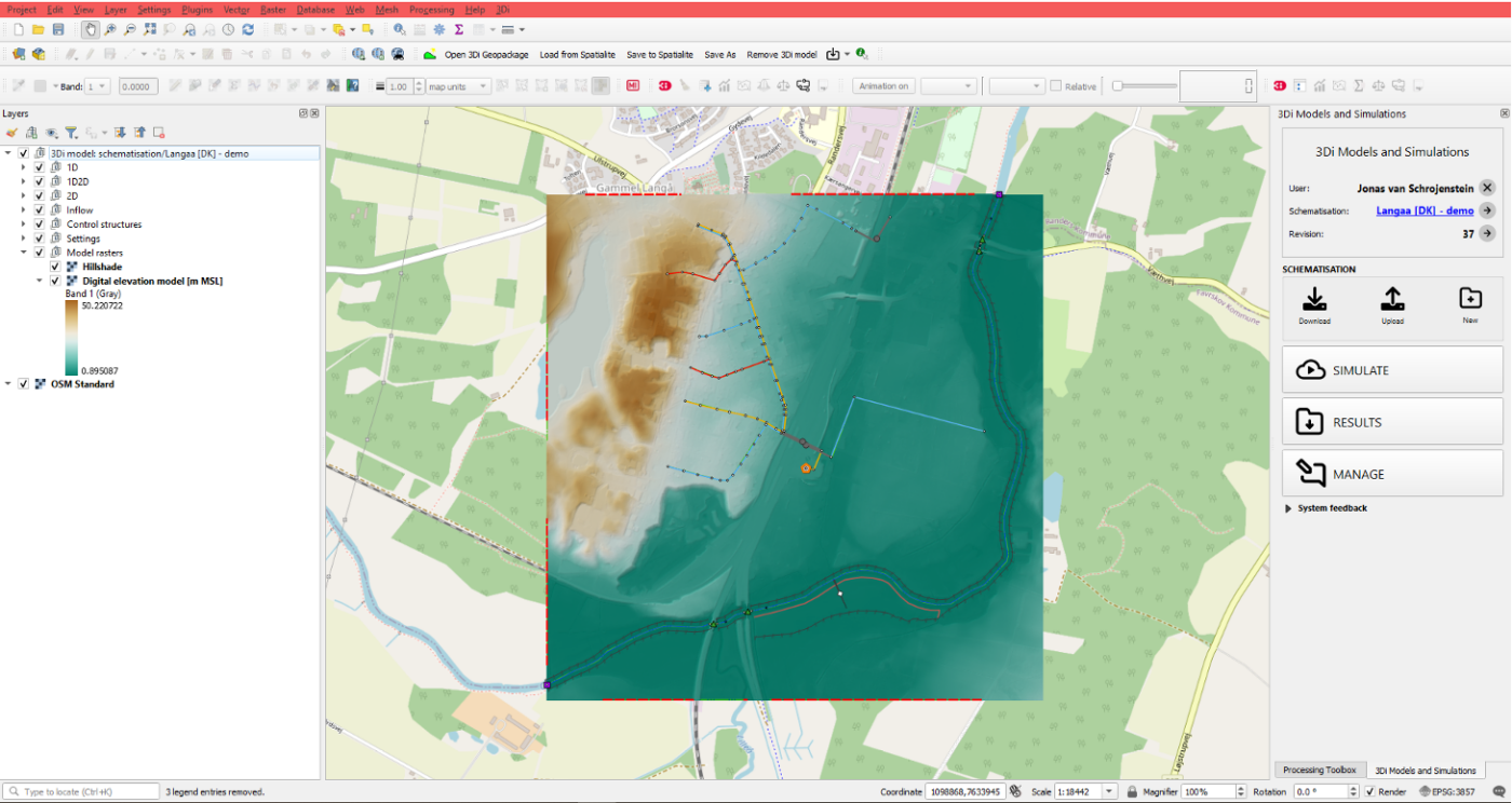
Build and edit 3Di models
- Import hydx.
- Vector data importer (import custom geodata and copy-paste data from the internet).
- Use the lizard plugin (addon) to download ready to use rasters.
- Built in editor tools (snapping and useful defaults).
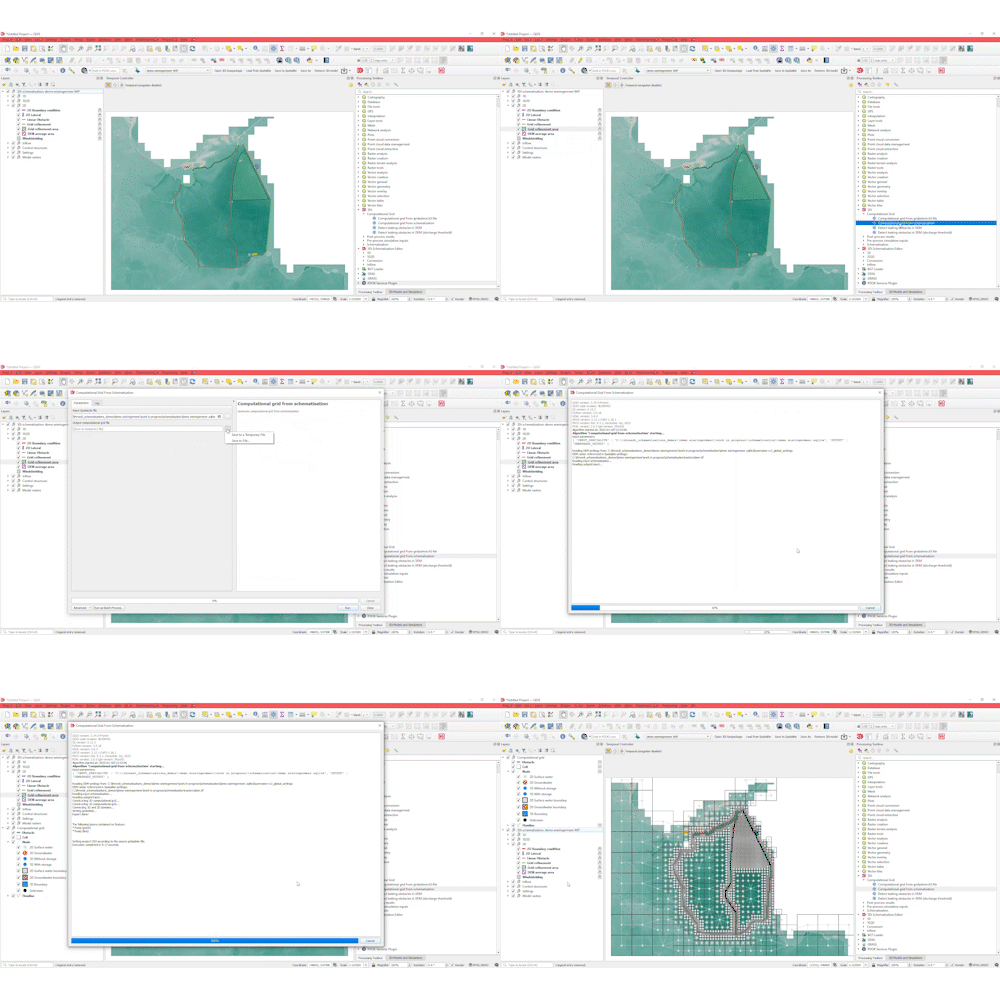
Tooling
- Built your computational grid within 1 minute, based on user preferences: For refinement, and for choosing where to exchange the 1D and the 2D.
- Schematization checker with more than 1000 checks.
- Any QGIS tool can be used.
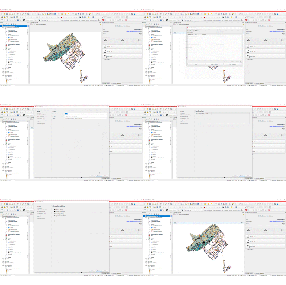
Run simulations
- Use the wizard to run simulations.
- Store the settings, including rainfall events, as template for later use.
Analyse results: truly understand water systems
- mapview
- Graph
- Sideview
- Custom statistics
- Water balance
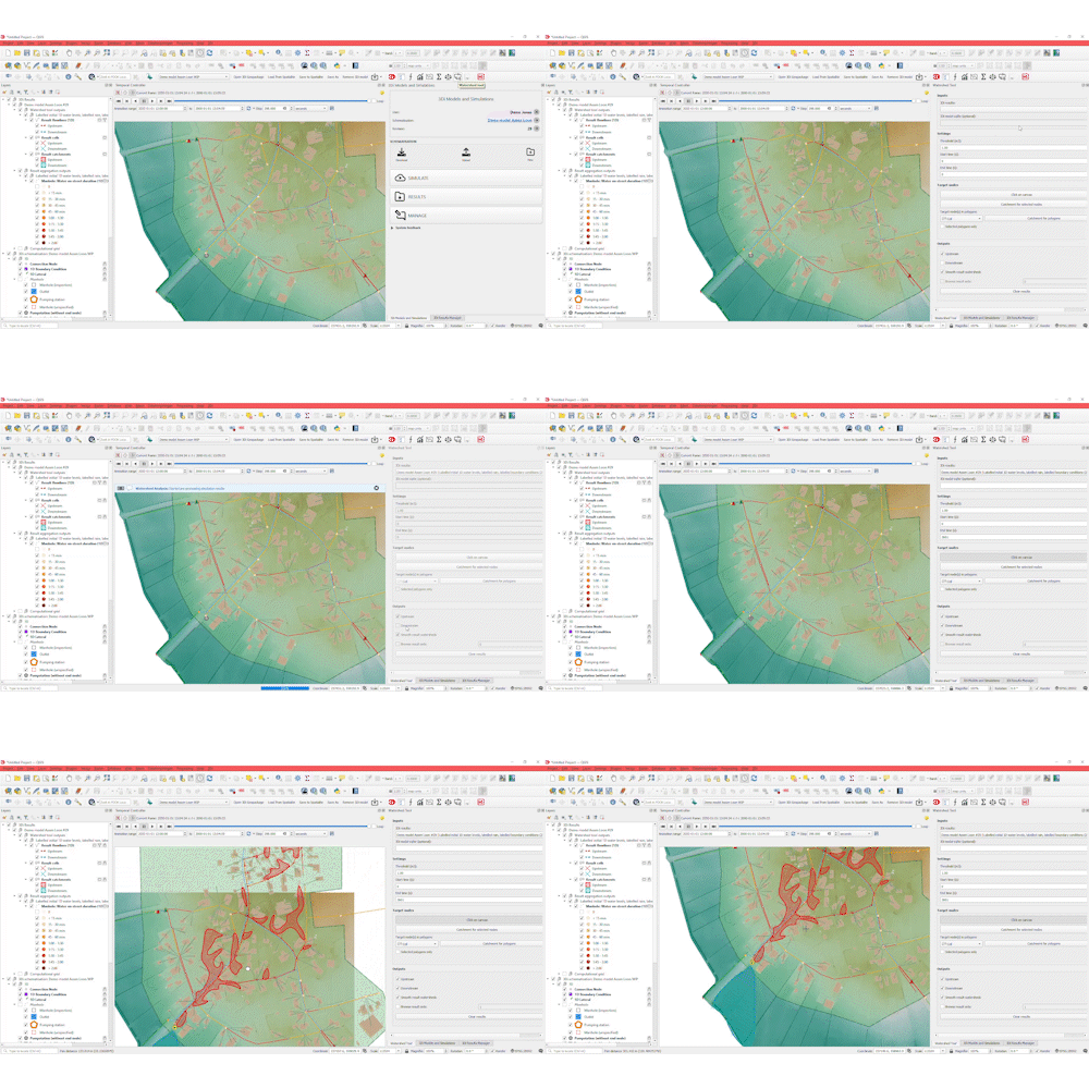
- Watershed tool
- Trace amount of water coming from which direction
- Use track and trace to completely understand how much water is coming from which direction
- Create waterdepth maps (max)
- Custom tooling
- Use the lizard plugin (addon) to download ready-to-use scenario results including impact assessments
Open source
The best part: this feature is open-source. We proudly sponsor several open-source projects, one of which is QGIS.
Templated schematisations at your fingertips
Within the 3Di Modeller Interface, you can find templated schematisations for channelflow, rivers, sewerage systems, control structures and breaches. Besides these templates, the interface supports the entire workflow of creating and editing models to analysing the results. If you are an advanced user, you can even use scripts (python or SQL) to automate every click you make within the 3Di Modeller Interface.
Water balance tooling
As you simulate with 0D/1D/2D modelling elements, the interface offers a flow summary for the entire simulation. But to get better insight on how certain areas or embedded structures perform, you can use a water balance tool. Simply click a polygon on the map and water balance for that specific area is calculated.
Statistics tool
The 3Di statistical tool enables you to quicly analyse the performance of each model. In one overview, the tool provides various statistics so you can assess the direct results within your model, like time of water on streets or within a sewer system.
Use your custom tooling
The 3Di Modeller Interface, built with the QGIS Technology, gives you the possibility to use SQL to build or edit your models, and create custom tools dedicated to a specific purpose. Interested in examples? Take a look at our GitHub page.
Schedule a demo to see how the 3Di Modeller Interface helps you to build, edit, and analyse models.