3Di is a hydrodynamic modelling software in the cloud. Building of schematisations is done locally in an adapted QGIS environment, we call the Modeller Interface.
On this page you’ll find the all features of 3Di from model building to analyzing your model results.
What makes 3Di unique is that it offers a workflow which includes not only model building and simulating but also provides automated post processing.
Build model
Build your schematisation on your computer in a GIS environment
Run simulation
Run simulations in the cloud
Postprocess results
Postprocess results results in the cloud
Analyse
Analyse in the cloud or on your own computer
Build and analyse models on your pc
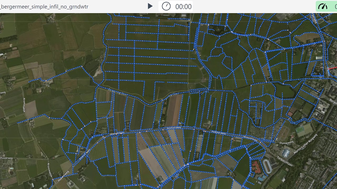
With 3Di you can build 0D-1D-2D integrated models.We have schematisations for channelflow, rivers, sewerage systems, control structures and breaches.
You build 3Di models using the Modeller Interface (a customized QGIS version) on your own PC. It is a GIS environment that gives you a variety of processing and analysis tools that makes the modelling process easy and clear. The whole workflow from creating and editing models to analysing results is supported within this interface.
For advanced users it is possible to use scripts (python or SQL) to automate every click.
Water balance tooling
Within 3Di it is possible to simulate with 0D/1D/2D modelling elements. Of course there is a flow summary for the whole simulation, but to get better insight in how certain areas or embedded structures perform a water balance tool is provided. Click a polygon on the map and the water balance for that specific area is calculated.
Statistics tool
The statistics tool provides statistical insight on modelling results. In one overview various statistics are provided for modelling results helping to quickly analyse whether the model performed as is should, and also providing direct results such as time water on streets in a sewer system.
Custom tooling
With the Modeller Interface built with QGIS Technology it is possible to:
- use SQL to build or edit your models
- create custom tools dedicated to a specific purpose. Examples can be found here:
Have a look at our GitHub page
.
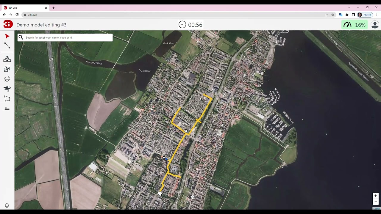
Live and interactive modelling
3Di Live is the online user interface to run and use the model that is developed for the hydrodynamic analysis. It is a simple user interface with which multiple users can run the model and perform what if analysis. In order to use it a webbrowser (preferably google chrome) and internet connection are the only technical requirements. The computations are run in the cloud, so also when your internet connection is disrupted the computation continues.
Within the user interface you can play around with the model. You can ‘throw’ different forcings (rains, discharges, pumps) at the model to see the impact. Plus you can also interact with the model, for example to put a mobile barrier somewhere to see the effect of that measure. And you alternate the elevation to see the effect when you elevate the surface or e.g. dig a retention pond. 3Di Live is often used to share the working of the water system, to perform crude what if analysis and to ‘optioneer’ possible solutions to mitigate the consequences of floods.
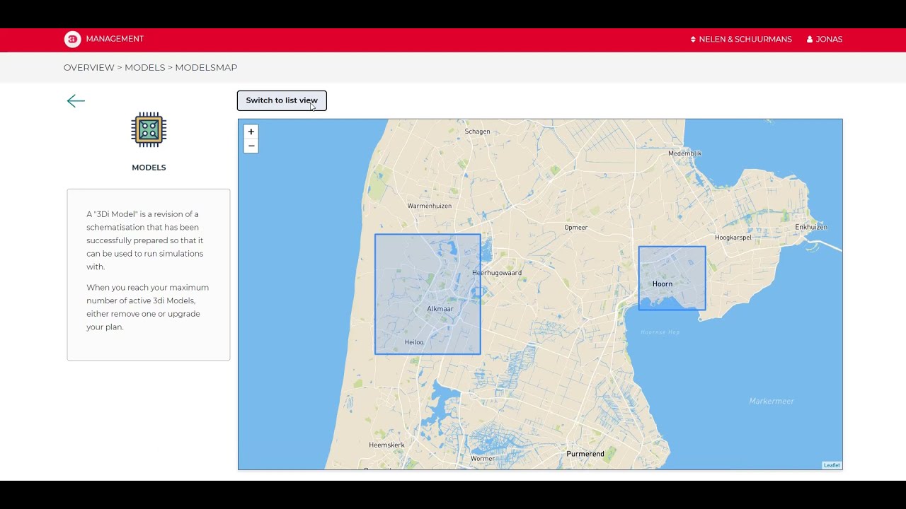
Model databank
The model databank stores schematisations and threedi models. The model databank uses a revisioning system. This means that the history of edits on a schematisation is stored. There are several benefits:
- it is not required to store history of a schematisation locally
- it is possible to quickly go back and forth between newer and older versions
- for every valid revision a 3Di model can be generated
- 3Di models are shown on the map, giving immediate insight where models are available.
Create an online archive of simulations
The model databank contains schematisation and revisions. On top of that, for every simulation it is stored which 3Di models was used for that simulation and what events, actions, settings and initial conditions were used.
Use the best possible input for rainfall using Radar
Using (validated) rainfall radar on a simulation helps when reproducing a historic rainfall event. Rainfall is in reality not uniform on a whole model extent, with our radar option we provide the possible to use the best available input for a simulation.
Simulation templates
A 3Di model consists of a schematisation, a depiction of reality, and a simulation template. A simulation template can be seen as a pre-fabricated setup of a model containing boundary condition time series, or initial water level, or different simulation settings.
A 3Di model can have multiple simulation templates making it very easy to simulate different scenario’s with the same model.
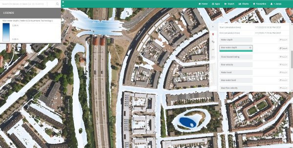
Store and process results online
We offer a long term storage for simulation results. On top of that it is possible to automatically postprocess results to get the following out of the box after every simulation:
- waterdepths maps over time in GTiff format
- flood hazard rating
- damage estimations
- arrival time maps
These results are disseminated through the web using WMS, or downloadable as GTiff or accessible via our API
The 3Di interfaces
3Di supports services for all aspects of hydrodynamic simulations. To access these services we provide applications, either as desktop app or as online web app.
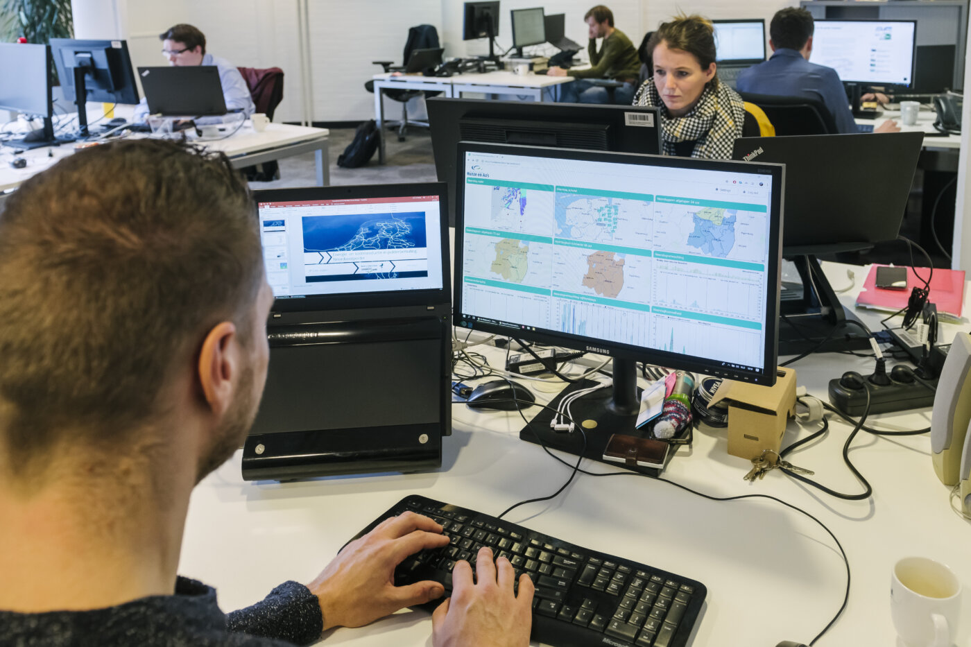
UTRECHT - Sfeerbeeld Nelen & Schuurmans.
Build custom solutions with the 3Di API
Our Open API allows you to integrate and interact with your models from within other software like Flood Early Warning Systems, Digital Twins of Cities or your own web app.
We care about accuracy and sound physics
We care a lot about the math and physics at the heart of 3Di’s hydrodynamic simulations. The computational core is carefully designed to create an optimal balance between accuracy, robustness and speed. We work closely with Prof. dr. Guus Stelling and use the latest mathematical insights to solve the full St. Venant equations with conservation of mass and momentum. 3Di solves this equation using subgrid and quadtrees.
Read more about this on our page for hydrologists
Or go directly to our publications