Mastering the Flow – The importance of incorporating drainage infrastructure in spatial planning
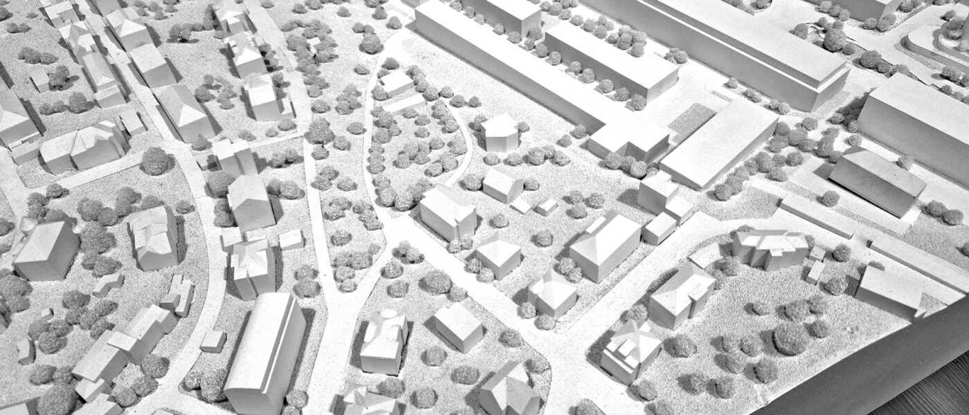
Urban drainage infrastructure design and spatial planning play a crucial role in the overall functionality and liveability of cities. Managing stormwater, preventing floods, and protecting the environment is traditionally done by the underground drainage infrastructure. However, due to climate change, urbanization, and the intensified use of underground space in cities, above-ground space is increasingly often exploited for stormwater management. Without proper design and planning, cities can suffer from waterlogging, pollution, and infrastructure damage.
Traditional drainage systems are often overwhelmed by heavy rainfall, leading to flooding and damage to infrastructure. The capital investment associated to this underground infrastructure is extravagant.
As can be noted from the elaboration on different modelling principles for urban drainage (see this blogpost) infrastructure design, the adequate inclusion of spatial plans is not feasible for every option. In urban environments it is essential to provide high accuracy results which can determine on building-level whether there is an associated flood risk. This means physics-based models are best suitable for this context. The question that needs to be answered is how the water reaches the flood-prone areas thus the need for hydrodynamic models becomes prevalent. To include spatial planning and the transportation of water from the streets into the drainage system, overland flow modelling is essential to accurately depict where water ponds and thus possibly enters buildings, blocks or streets. For the interaction of the drainage system with the surface during extreme rainfall events which causes the system to overload, it is advised to apply either fully integrated domain modelling in combination with rain on grid modelling. These offer the highest detail and insights into the floodplains.
Practical implications of using the right modelling approach
Sustainable approaches to urban water management aim to minimize the impact of stormwater runoff on the environment while maximizing the benefits to society. These approaches take into account the principles of green infrastructure, low-impact development, and water-sensitive urban design.
- Green Infrastructure: Green infrastructure refers to the integration of natural elements, such as trees, vegetation, and permeable surfaces, into urban landscapes. Green spaces, parks, and urban forests help absorb and infiltrate stormwater, reducing the volume of runoff and preventing flooding. They also provide numerous environmental, social, and economic benefits, such as improved air quality, reduced urban heat island effect, and enhanced community well-being.
- Low-Impact Development: Low-impact development (LID) techniques focus on mimicking natural hydrological processes to manage stormwater. LID techniques include rain gardens, bioswales, permeable pavements, and green roofs. These techniques help capture and treat stormwater at its source, reducing the reliance on traditional drainage systems. LID not only helps manage stormwater but also improves water quality and creates aesthetically pleasing urban environments.
- Water-Sensitive Urban Design: Water-sensitive urban design (WSUD) is an integrated approach that combines water management with urban design principles. It aims to create urban environments that are responsive to the natural water cycle and minimize the impact of urbanization on water resources. WSUD incorporates elements such as water-sensitive streetscapes, wetlands, and urban waterways to manage stormwater and enhance the natural beauty of cities.
The adoption of these practices can only be substantiated if the water system and physical environment is well understood. Urban water modelling experts lay the foundation for this understanding. The co-design of the dimensioning and operations of the proposed solutions as green infrastructure, LIDs and WSUD all rely on an accurate representation of the flow of water. Consequently, these approached can – simply put – not exist without hydrodynamic, physics-based models which incorporate overland flow to let water enter and exit the drainage infrastructure. 3Di is an exemplary software which includes these processes