What can 3Di Track & Trace do?
The Track and Trace application enables you to compute the origin of water through labels. For example, you can label DWF, Precipitation, Boundary conditions, and Laterals.
While labelling with Track & Trace you:
- To compute the origin of water through labels. For example, you can label DWF, Precipitation, Boundary conditions, and Lateral
- Uncover insights into the spatial distribution of the origin of water
Insight into the refresh rate of water
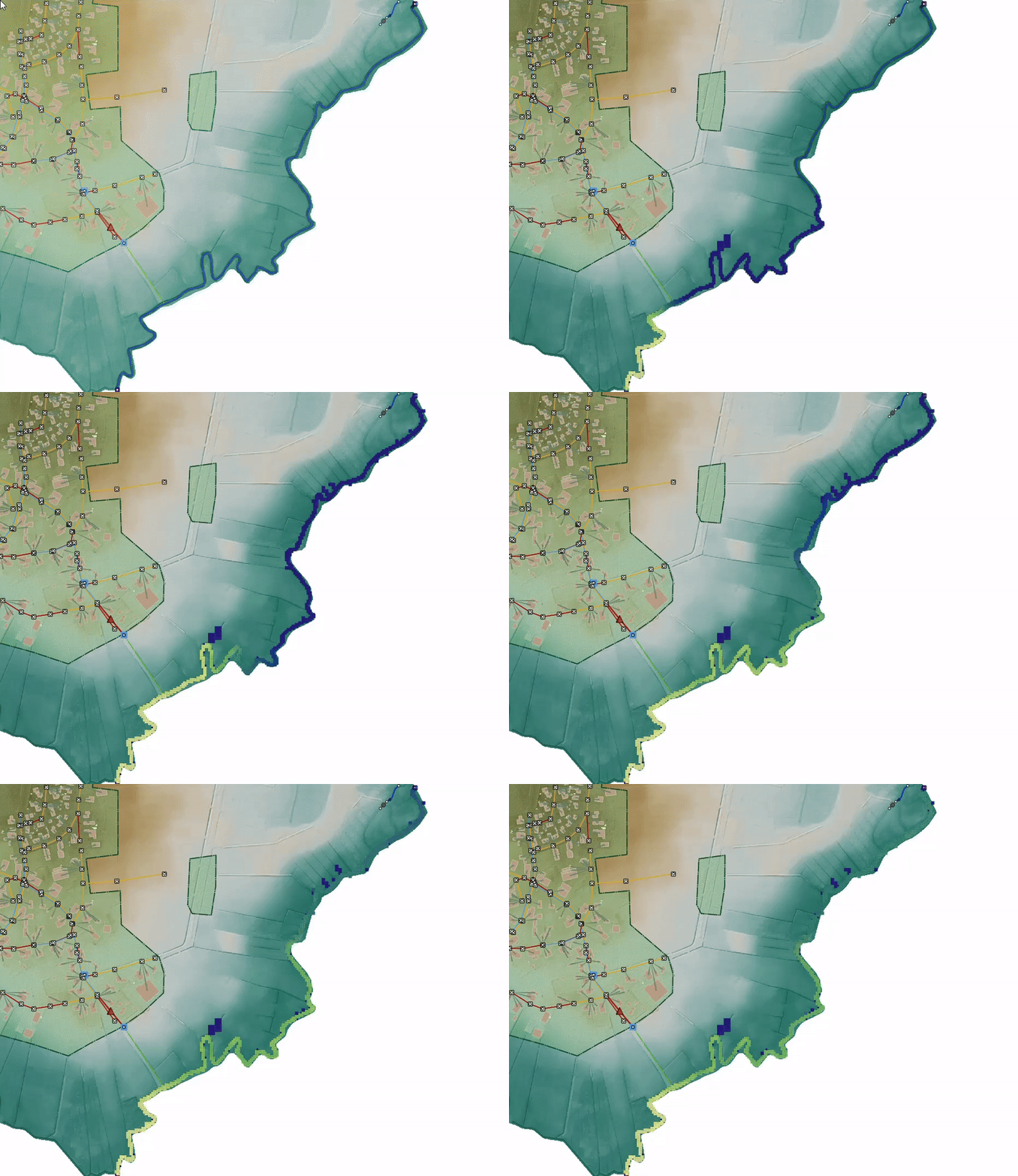
The animation shows you how the initial water in the lagoon of Lac Bya is refreshed by seawater due to tidal effects. At the start, you see that the initial water in the laguna is labelled. You can see the percentage of the initial water in every computational cell at all time steps. And as a result, you have insight into the refresh rate of the laguna water.

Visual distinction through changing colours
The following animation shows how a small river is filled with water from the boundary condition. If the percentage of water from the boundary condition reaches 100%, the colour changes to yellow.
Track water in sewerage systems
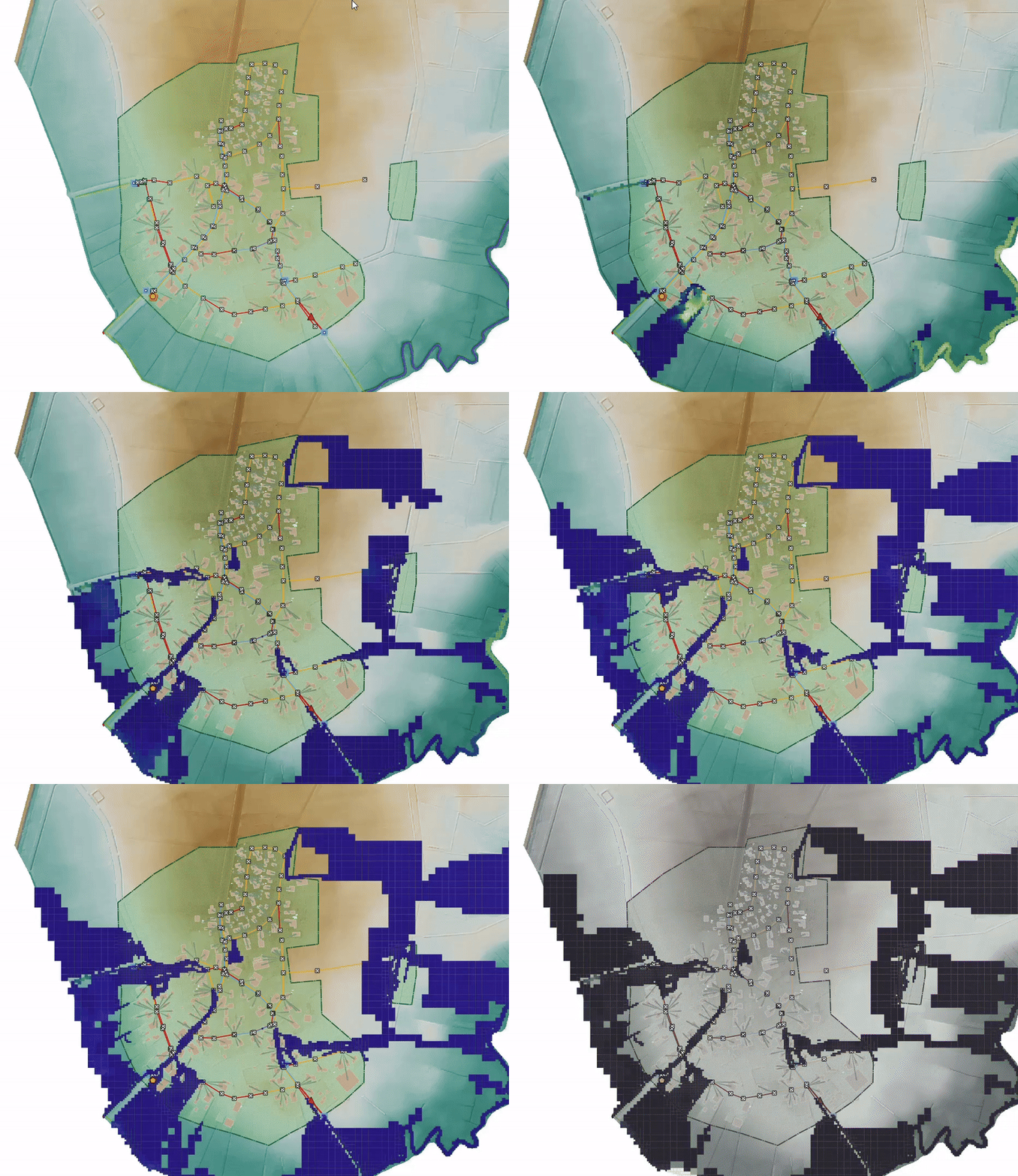
Here you can see how the initial water in the sewerage system is progressing through the simulation. A simulated rainfall event shows what percentage of the water is initial water from the sewerage system. It gives great insight in whether the water on the street is mixed with dry weather flow.

